The concession, explained
A fifty-year licence over the whole of one of Uganda's largest and least-known forest reserves, on the three-way border of Uganda, South Sudan and Kenya.
Where it is
The extreme north-east of Uganda, 450 km from Entebbe by air and some 570 km by road. The Apoka airstrip in Kidepo Valley National Park lies 23 km from the reserve's western boundary, and the new Kidepo International Airport is being built 21 km from it. The nearest towns are Kaabong to the south-east and Karenga to the south-west.
What the boundary means
The reserve is a wedge: broad in the north-east around Mount Zulia and the Turkana escarpment, narrowing south-west along the Kidepo River. Its northern edge is the South Sudan border and its eastern edge the Kenyan one. The lighter area is the 410 km² that also lies inside Kidepo Valley National Park, where we work under both NFA and UWA.
The boundary shown is the National Forestry Authority's 2021 GIS boundary as published in the World Database on Protected Areas. Zulia was never fully demarcated on the ground; a formal re-survey is one of the licence's first-year obligations.
The reserve, two ways
Rivers, tracks, peaks and settlements on the NFA boundary. Toggle layers below the map.
Everything east of the boundary is thinly mapped: that is the honest picture of a reserve no one has worked in. The optional lodge-site layer shows twelve hilltop positions ranked by elevation, relief, horizon and distance to water; they are desk-based candidates for ground-truthing, not proposals.
Take it into Google Earth
The full layered file: boundaries, water, roads and tracks, peaks, settlements and the indicative sites, each in its own folder you can switch on and off, with the reserve in 3D terrain.
- Download the file. On a computer with Google Earth Pro installed, or a phone with the Google Earth app, opening it loads every layer directly.
- In Google Earth on the web, choose File → Import KML file and pick the download.
The terms, plainly
We publish the substance of the licence because our partners, our regulators and our neighbours should all be able to see what we have agreed to. The full agreement is available to serious counterparties on request.
- Instrument
- Licence for eco-tourism development and forest conservation activities in a Central Forest Reserve, National Forestry and Tree Planting Act 2003, s.41
- Licensor
- National Forestry Authority, Government of Uganda
- Licensee
- Zulia Conservancy (Uganda) Limited
- Licence number and date
- No. 30, 26 May 2022
- Area
- 102,893 ha — the whole of Zulia Central Forest Reserve, Kaabong District, Karamoja
- Term
- 50 years, with an initial 24-month probationary period and performance reviews every three years
- Permitted
- Collaborative management of the reserve; a 20-bed exclusive wilderness lodge, a 40-bed mid-range lodge and a 6-tent hunting camp; forest walks, cycling, camping, study tours, bird-watching and research. Hunting and game ranching subject to Uganda Wildlife Authority licensing.
- Dual management
- About 410 km² of the reserve lies inside Kidepo Valley National Park and is managed jointly by NFA and UWA
- Obligations
- Ten-year forest management plan; environmental and social impact assessment; quarterly progress reports; community employment and procurement; environmental monitoring; annual and per-visitor fees to NFA
- Tenure
- No interest in land passes to the licensee. All fixed developments revert to the Government of Uganda at the end of the term.
Getting there
1 h 45 by air from Entebbe to the Apoka airstrip, 23 km from the boundary; the new Kidepo International Airport will be 21 km away.
Air, road and cross-border detail
- By air today
- Scheduled and charter flights from Entebbe and Kajjansi land at the Apoka (Kidepo) airstrip inside Kidepo Valley National Park, about 1 h 45 min flying time. Apoka is 23 km from the reserve's western boundary and 41 km from its centre in a straight line; by the park road through Kanangorok it is under an hour's drive to the Kidepo River crossing.
- Kidepo International Airport
- A new international airport is under construction south of the park near Karenga (3°44′N 33°44′E), with a 3,600 m runway designed for direct regional and long-haul arrivals. It is 21 km from the reserve boundary and 39 km from the reserve's centre, roughly the same distance as Apoka. When it opens, Zulia becomes the closest major wilderness to an international gateway anywhere in East Africa.
- By road
- Kampala to Kidepo is about 570 km and 10–12 hours via Gulu and Kitgum (the Kitgum–Kidepo road is being upgraded alongside the airport), or via Moroto and Kaabong on the eastern route. From Kaabong town the reserve boundary is 40 km north; from Karenga, 36 km.
- Inside the reserve
- There are no all-weather roads inside Zulia today. Access is by 4×4 track from the Kidepo valley and along the river in the dry season (December to March). Opening a graded spine road from the south-west, with an airstrip on the plains, is in the first-phase plan.
- From Kenya and South Sudan
- Lokichoggio in Kenya is 32 km from the eastern boundary by air; the Turkana escarpment forms the border. Cross-border tourism circuits with Kidepo and Lotukei in South Sudan are part of the long-term landscape vision, subject to the relevant permits.
The ground itself
Inselbergs and hills
Granite domes rise from the plain to the Zulia and Lomil hills; the summit of Mount Zulia at 2,149 m is the high point of the whole Kidepo landscape.
Rivers of sand and palms
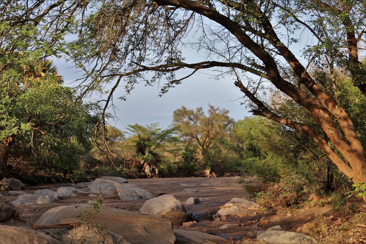
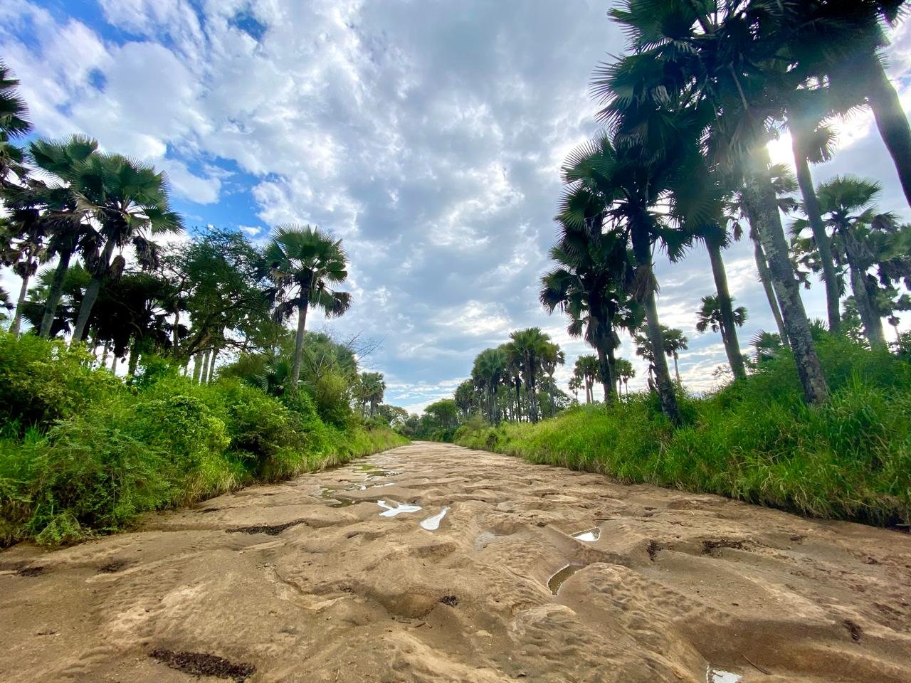
The Kidepo River and its tributaries run for a few weeks a year and hold water in rock pools and sand through the dry season, lined with borassus palms.
Savanna and woodland
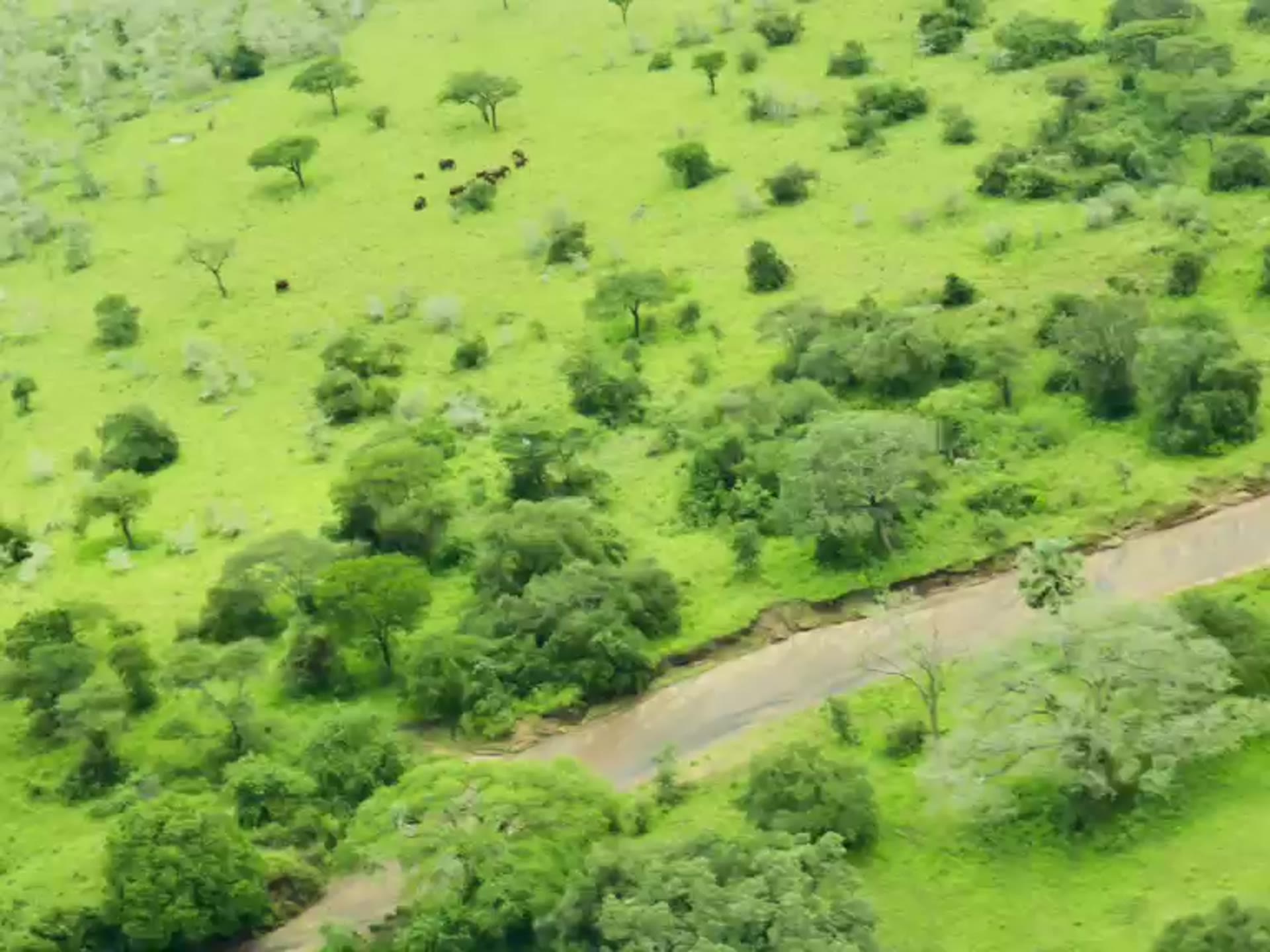
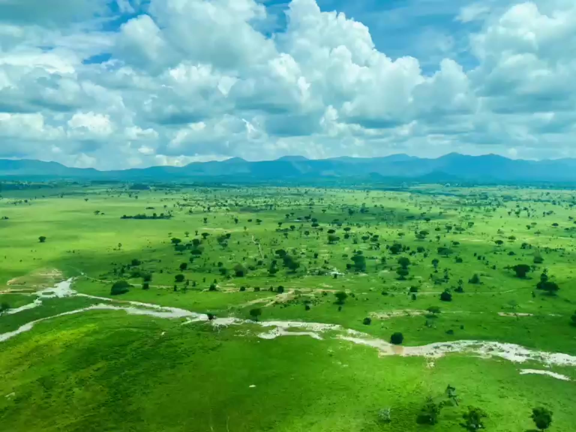
Open grassland on the valley floor gives way to Combretum and Acacia woodland on the slopes: vegetation types poorly represented anywhere else in Uganda's protected areas.